Updated on November 26, 2019 @ 6PM
Forecasts and stats for Fulton, NY |

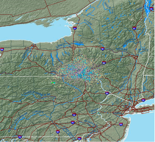
2019-2020 Seasonal Snowfall Total
Fulton: 9.0" Syracuse: 6.6"
through November 14, 2019
Fulton: 9.0" Syracuse: 6.6"
through November 14, 2019

Current Weather Links:


| Weather Pictures | Fulton Google Maps | ||
| Local Weather Stats | Fulton Area Maps |
Additional Links:
SUNY Oswego Webcam
New York State Golden Snowball Award Contest
2007 Oswego County Lake Effect Storm Video
Weather Models and Links
Forecast:
 |
|||||||
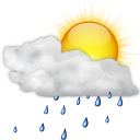
Wednesday |
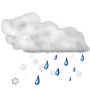
Thursday |
Friday |
Saturday |
Sunday |
Monday |
Tuesday |
Wednesday |
 |
|
 |
|
 |
 |
|
|
High: 58 |
High: 40 |
High: 36 |
High: 36 |
High: 36 |
High: 34 |
High: 36 |
High: 38 |
Low: 38 |
Low: 22 |
Low: 19 |
Low: 18 |
Low: 28 |
Low: 21 |
Low: 25 |
Low: 28 |
|
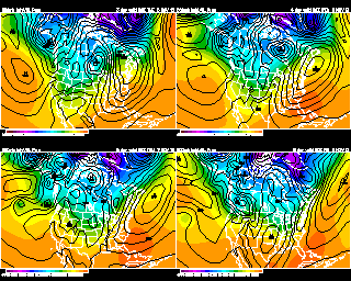
Forecast Discussion: A large storm system will make it into our area on Wednesday. Wednesday will be our last mild day of the week. We should remain dry through most of the morning. But from late morning on, we will have a chance of scattered rain showers. Winds will be increasing in strength. A heavy downpour and maybe a rumble of thunder around late afternoon or early evening. Turning cooler Wednesday night. Higher elevations will see rain change over to snow showers. Scattered rain and snow showers into Thanksgiving morning. Most of the lower elevations should just see rain, but a few flakes could mix in. By late morning or early afternoon we will turn drier. A cool and dry day on Friday as high pressure moves down over us from Canada. Another quiet and cool day on Saturday with a mix of sun and clouds. Another storm moves our way on Sunday. Expect snow mixing with sleet and some rain. Mixed precipitation is possible through Sunday night. We should change to mainly snow toward Monday morning. Still too early to tell how much snow we could see. Low pressure may reform and strengthen near the east coast keeping snow showers over us for most of the day Monday. A few flurries early next Tuesday, otherwise partly cloudy skies and cool. A mix of sun and clouds for next Wednesday. |
Meteorologist
Anthony Corsoniti

Bachelor's of Science in Meteorology
from SUNY Oswego
Anthony Corsoniti
Bachelor's of Science in Meteorology
from SUNY Oswego